|
The
Otira River is a scenic river located in the
West Coast region of
New Zealand's South Island,
flowing through the Otira Valley
in the foothills of the Southern
Alps. It is a tributary of the
Waimakariri River, joining
it after flowing through a dramatic and rugged landscape. The Otira River is
particularly known for its picturesque surroundings, and the area is often a
starting point for adventurers heading into the
Arthur's Pass National Park.
Key Features of the
Otira River:
1.
Geography and Course
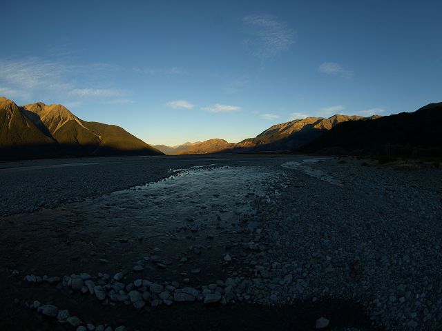
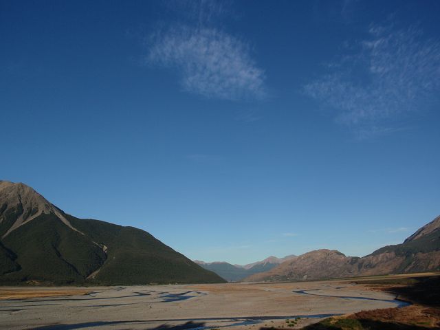
-
Source: The Otira River
originates from the Otira
Glacier located high in the
Southern Alps, a range
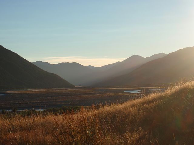
of mountains known for their rugged, steep terrain. The river flows
eastward through the Otira
Valley, which is carved into the mountains by glacial activity.
-
Mouth: The Otira River
joins the Waimakariri River,
which ultimately drains into the
Pacific Ocean via
Pegasus Bay. It flows through a mix of forested valleys and
rocky terrain, eventually reaching the more populated plains on the
eastern side of the Alps.
-
Catchment Area: The
river drains an important section of the
Arthur's Pass National Park,
contributing to the water systems that sustain both the park’s
ecosystems and the surrounding region.
2.
Scenic Beauty
-
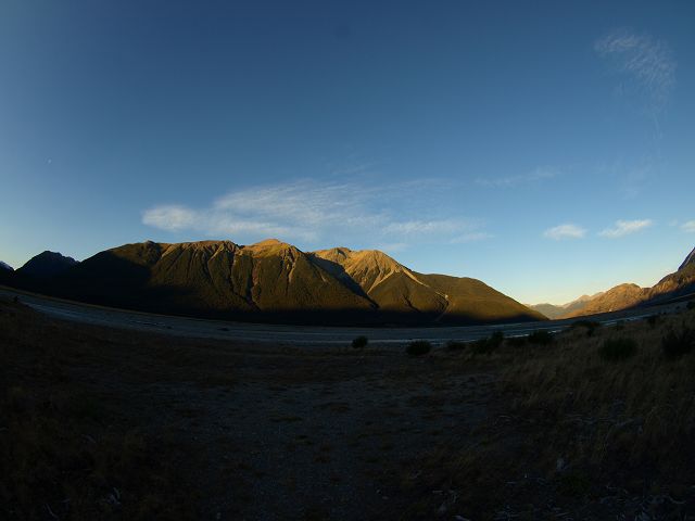
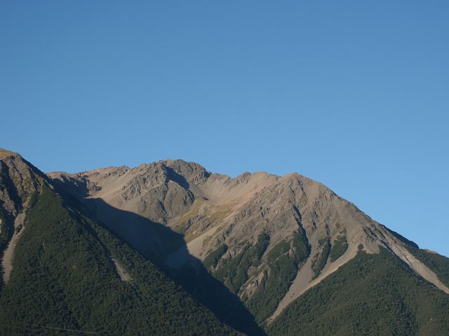
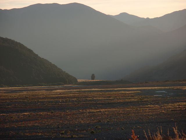
Otira Gorge: One of
the most striking features of the river is the
Otira Gorge, a
dramatic and narrow canyon through which the river flows. The gorge
offers breathtaking views of rugged cliffs and waterfalls, making it a
popular spot for photography and sightseeing.
-
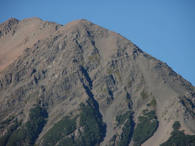
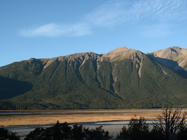
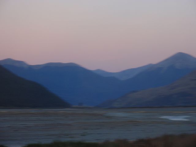
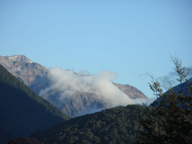
Southern Alps Views:
As the river winds its way through the valley, visitors are treated to
stunning views of the surrounding
Southern Alps. The
snow-capped peaks, alpine meadows, and lush vegetation create a striking
contrast, especially during the spring and summer months.
-
Waterfalls: Several
waterfalls cascade into the Otira River from the surrounding cliffs and
mountains, adding to the dramatic and beautiful landscapes of the area.
3.
Recreation and Activities
-
Hiking and Walking:
The Otira River and
its surrounding valleys offer a range of
hiking opportunities.
One popular walking track in the area is the
Otira Valley Track,
which provides an easy walk alongside the river, offering great views of
the Otira Gorge and
its stunning natural surroundings. The track is well-suited for those
looking for a shorter walk with views of native forest and rugged
terrain.
-
Camping: There are
several camping spots
along the Otira River, particularly in areas closer to
Arthur’s Pass Village,
where visitors can camp and enjoy the pristine environment. The
Otira Campsite is one
such site that provides easy access to the river and surrounding
wilderness.
-
Fishing: The Otira
River is also known for trout
fishing. Brown trout
and rainbow trout are
commonly found in the river, making it a popular spot for anglers. The
river’s clear waters and serene surroundings offer an ideal environment
for fishing enthusiasts.
-
Photography: The
natural beauty of the Otira River, with its combination of mountains,
waterfalls, and native forests, makes it a prime location for
landscape photography.
The diverse terrain provides excellent opportunities to capture dramatic
vistas, wildlife, and the ever-changing weather patterns in the region.
4.
Ecological Significance
-
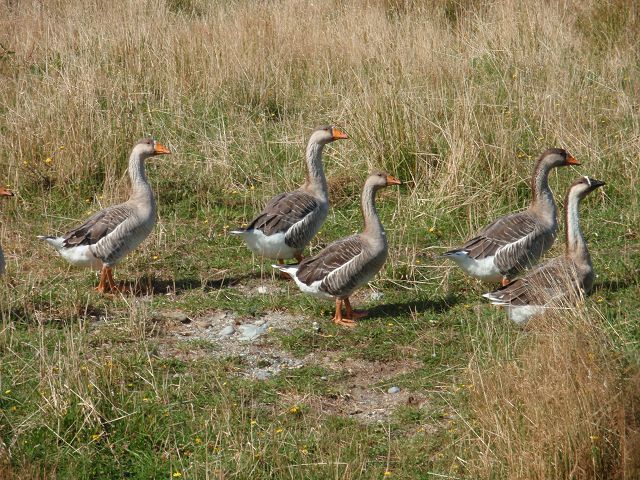
Native Flora and Fauna:
The Otira River flows through a variety of ecosystems, from alpine
meadows and dense forest to rocky riverbeds. The
Otira Valley is home
to native beech forests,
ferns, and
mosses, which support
a wide range of wildlife, including
native birds like the
fantail,
kea, and
rifleman.
-
Aquatic Life: The
river’s waters support a variety of aquatic life, including native fish
species like the Galaxiids
(whitebait) and the introduced
trout population. The health of the river and its surrounding
environment is vital to sustaining the regional biodiversity.
-
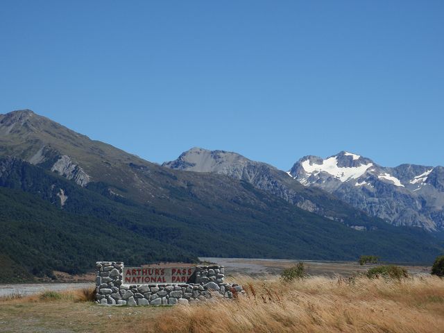
Conservation: The
Otira River, being located within the
Arthur's Pass National Park,
is part of a protected area aimed at preserving New Zealand’s unique
flora and fauna. Conservation efforts in the region focus on protecting
native species and ensuring the river's ecosystem remains undisturbed by
human activity.
5.
Best Time to Visit
-
Summer (December to February):
The summer months are ideal for hiking and outdoor activities in the
Otira River area. The weather is warmer, and the river’s flow is usually
manageable for activities like fishing or rafting. This is also when the
surrounding landscapes are in full bloom, with alpine wildflowers and
lush green forests.
-
Autumn (March to May):
Autumn is another excellent time to visit, as the cooler temperatures
and changing foliage create beautiful scenery along the river and the
surrounding hills. The river remains accessible for outdoor activities,
and the fall colors add a rich palette to the landscape.
-
Winter (June to August):
Winter brings snow and ice to the Otira River area, making it a quieter,
more serene time to visit. However, snow and icy conditions may limit
certain activities like hiking or fishing, and travelers should be
prepared for colder weather. The snow-capped mountains create stunning
winter vistas.
-
Spring (September to November):
Spring is the time when the region begins to thaw, with more moderate
temperatures and blooming flowers. The Otira River comes alive with
fresh greenery, and it’s a great time for nature walks and photography.
6.
Access and Transportation
-
Arthur’s Pass Village:
The village of Arthur’s Pass
is the closest settlement to the Otira River and serves as the gateway
for exploring the river and its surrounding area. The village is
well-connected by the Arthur's
Pass Highway (SH73), which runs through the
Southern Alps and
connects the West Coast
to the Canterbury Plains.
Visitors traveling along this route will have easy access to the Otira
River and other nearby natural attractions.
-
Public Transport:
While there is no direct public transport to the river,
Arthur’s Pass Village
is accessible by bus or train from
Christchurch, making
it a manageable trip for those relying on public transport.
-
Car Access: If you're
traveling by car, there are several access points to the Otira River
from the Arthur's Pass Highway,
including parking areas and track entrances, making it convenient for
those driving to the region.
Conclusion:
The Otira River is a
striking feature of New Zealand’s
West Coast, offering visitors an opportunity to experience the
beauty and ruggedness of the
Southern Alps. Whether you’re seeking adventure through
hiking,
fishing, or simply want
to enjoy the tranquility of the
Otira Valley, the river and its surroundings provide a wealth of
opportunities for nature lovers. The combination of spectacular landscapes,
abundant wildlife, and outdoor activities make the Otira River a must-visit
destination for anyone exploring the
Arthur's Pass National Park
and the West Coast.
|
|
 Safaris
Bergsteigen
Wandern
Inselwandern Weltweit
Safaris
Bergsteigen
Wandern
Inselwandern Weltweit
 Chronologie
Inselwandern
Chronologie
Inselwandern Europa
Inselwandern
Europa
Inselwandern
 Städtewandern
 Paintings
 Dirk Rauschenbach